Northumberland Walks Logo

Northumberland Walks Panorama.
Homepage * Site Map * Privacy * Terms * E-mail

© Copyright - All walk descriptions and photos on this website are subject to copyright.


Northumberland-Walks.co.uk - photographic walks in Northumberland.


Rothley Circular Walk.

Introduction

This short circular walk of just over 3 miles follows tarmac roads for it's entire length.

The route can be followed in either direction, we followed an anti-clockwise route.
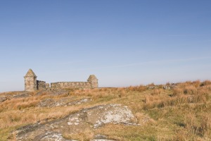
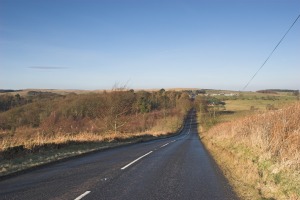
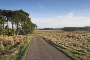
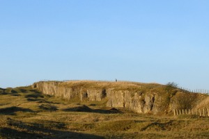
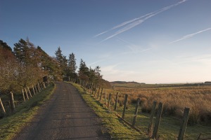
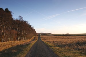
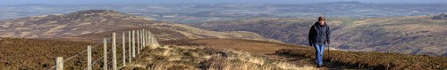
Rothley Lakes.
Rothley Lakes.
Bridge over the old railway.


Walk

There are a few possible starting points for this walk - we started at Rothley Crossroads where there is a parking space on the roadside.

From the parking area at Rothley Crossroads turn right towards Rothbury.

Be careful on this road as some traffic can be travelling quickly.

The road rises and on the right hand side of the ruins of Codger Fort can soon be seen perched on a hilltop.

On the left are great views towards the Simonside Hills.

View from the road beside Codger Fort.
Codger Fort
Codger Fort


As you pass Codger Fort the road leads steeply downhill towards Rothley Lakes with wide panoramic views.

View down the hill to Rothley Lakes.
The lake on the east side of the road.


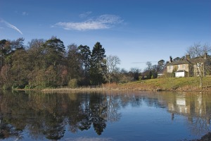
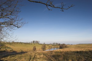
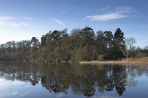
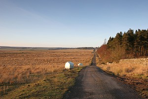
At the bottom of the hill the main lake is on your left with a smaller lake on the right.

Both are on private land.

The main lake is very pretty, especially on a sunny day with lakeside reflections on the surface.

Rothley Lakes.
Rothley Lakes.
Reflections in the lake.


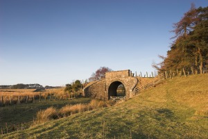
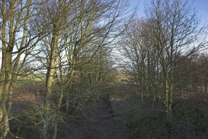
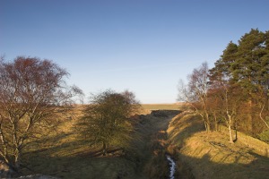
After the lakes the road rises again as you head to Rothley West Shield.

After a short while you will cross a bridge over the old Scots Gap to Rothbury Railway.

On the left the trackbed can be seen in a deep cutting and on the right, when the trees are bare, the remains of a station platform are visible.

The remains of a railway platform.
Rothley East Shield.


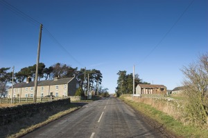
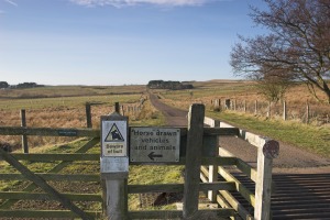
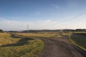
Shortly after the railway is a junction on your left.

Take this junction and after the houses cross a cattle grid.

A sign here warns of a bull, we've never seen him here but once walked through a field full of young bulls on the road to Greenleighton!

Beware of the Bull.
Beware of the Bull !
A very old road sign.


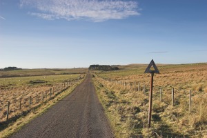
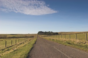
Continue along this road with open views ahead and on your left.

Along the road ro Rothley West Shield.
Along the road to Rothley West Shield.
Looking back to Rothley East Shield.


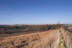
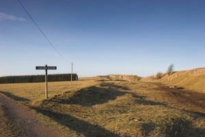
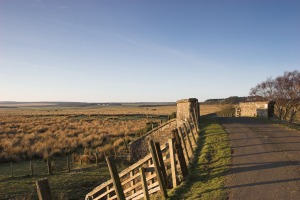
After you pass some cottages and a small thicket of trees you will reach another junction.

A short detour to your right here provides good views to Greenleighton and Harwood Forest.

There is also a car park here which can be used as a starting point for this and a number of other walks.

The track to Greenleighton.
View along the track to Greenleighton
View along the track to Greenleighton.
On the other side of the crags is a large old quarry.
To the left - East Shield and right - West Shield.


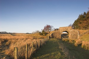
On returning to the junction take the right hand road which is more or less straight ahead.

This will take you past Rothley West Shield Farm and after a while to another bridge over the old railway.

From here is a fine view along the old trackbed towards Scots Gap.

There is also a view of Rothley Castle in the distance.

Bridge over the old railway.
Looking along the old railway.
Bridge over the old railway.
Bridge over the old railway - view to Harwood.
Bridge over the old railway.
Bridge over the old railway from the south.
Looking along the old railway.
Another view along the old railway.
View from the bridge.


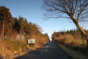
Continue along the road and cross another cattle grid to join a main road.

Turn left here and walk uphill for a short distance back to Rothley Crossroads and the parking area.

Looking back from the cattle grid.
View towards Rothley crossroads.


Pine trees at the crossroads.


Notes

Good walking shoes or boots preferable.

Map - Ordnance Survey Landranger sheet 81, Alnwick, Morpeth and surrounding area.

Use of information on this page for any purpose is at the users risk and subject to our terms of use. (No reproduction for any purpose without written permission).


To see larger photos please visit Northumberland Cam


Northumberland Walks Logo

© Copyright - All walk descriptions and photos on this website are subject to copyright and may not be reproduced in any format without prior permission.


If you would like to use any walking article or photo please use our E-mail form to make your request.

Northumberland-Walks.co.uk ©
Homepage * Site Map * Privacy* Terms * E-mail

Link opens new browser window.

Link opens new browser window.