|
| 
|
|
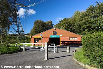
Northumberland-Walks.co.uk - photographic walks in Northumberland.Newburn - Wylam Circular walkIntroduction We started this walk at Newburn in the car park and visitor centre of the Tyne Riverside Country Park which is in Tyne + Wear, but just a short distance from the boundary with Northumberland. The walk could be started at Wylam, but we found that the free parking and toilets made it the best starting point. it could also be started from Wylam Station if travelling by train. We followed a route from Newburn along the north bank of the River Tyne to Wylam. After passing through the village we crossed the river at Hagg Bank Bridge. We then returned along the south bank of the river to Newburn Bridge, where we crossed and returned to the country park. So, this is a walk in two counties, Northumberland and Tyne + Wear. Distance - Approx. 8.5 miles. Parking - Newburn Country Park. Toilets - Newburn Country Park and Wylam Village.
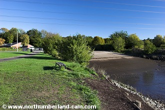
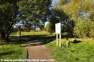
Walk 1) From the car park and visitor centre we walked to the footpath which passes the children's playground and turns right along the north bank of the River Tyne. A slipway for boat and canoe launching is on the left here.
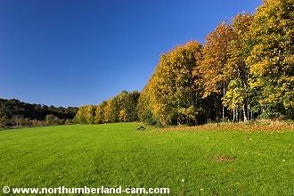
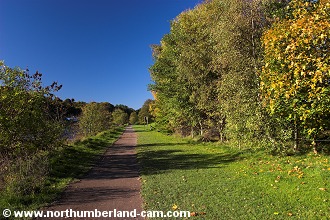
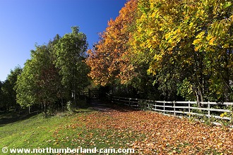
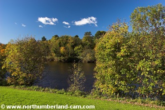
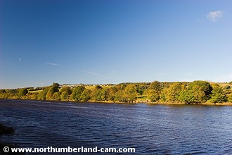
2) We followed the path across a large open area with picnic tables which is very colourful in the Autumn. Across the river, the steeple of a church in Ryton can be seen above the trees.
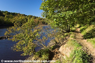
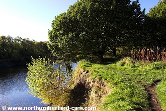
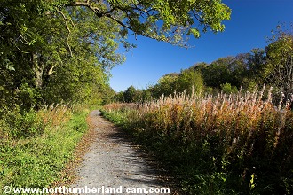
3) After leaving the picnic area we followed the path, which is very close to the river until we reached a junction. On this occasion we continued straight on along the riverside footpath. However on other occasions we have turned right and followed the path to the old railway to Wylam.
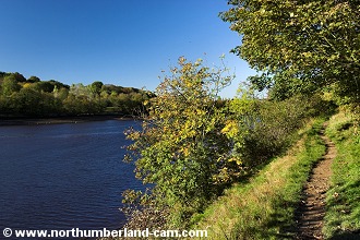
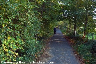
4) We continued along this path which clings to the riverbank in places, through overhanging trees. The path is now in Northumberland.
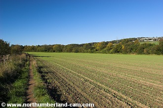
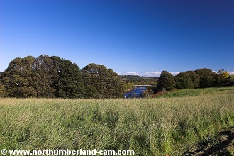
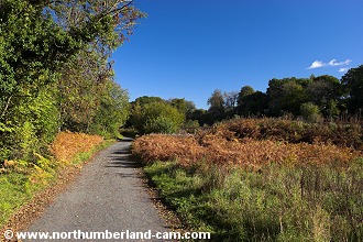
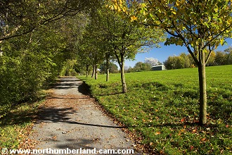
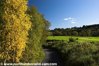
5) After a short distance the path emerged into open fields which it runs alongside. From here there are good views to Heddon-on-the-Wall which can be seen on the horizon to the right.
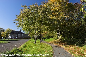
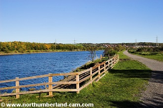
6) after passing the fields the path once again entered a woodland area. At this point we turned right and walked up to the old railway line mentioned earlier.
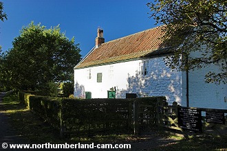
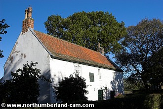
7) A short distance along the trackbed which is now a footpath and cycle way we reached Stephensons Cottage. This was the home of the famous railway engineer George Stephenson and is open to the public at certain times.
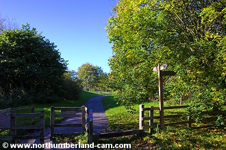
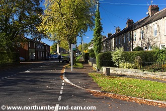
8) Continuing along the railway we reached the site of Wylam North Station, now a car park. From here we could have continued along the track to Hagg Bank Bridge, but walked left towards the village instead.
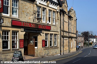
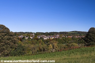
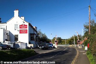
9) We walked up through the village as far as the Ship Inn where we turned left into a car park and toilets.
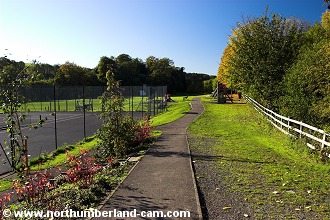
10) We followed the path through the park and turned right at the exit, back down to the railway and on to Hagg Bank Bridge.
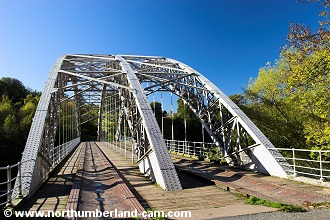
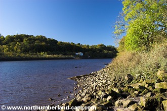
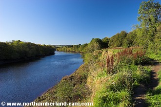
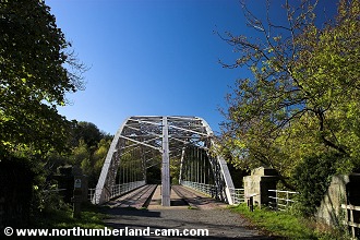
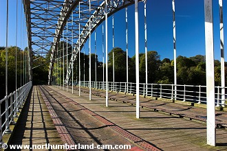
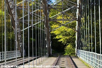
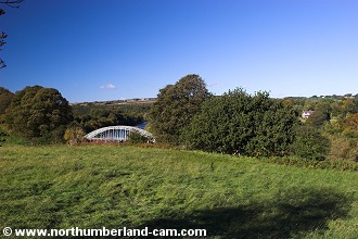
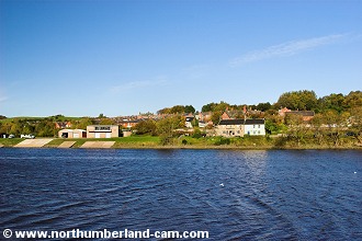
11) At Hagg Bank Bridge an information board outlines the history of the railway and the bridge itself. We crossed the bridge, stopping to admire the views along the River Tyne in both directions.
12) On the other side of the bridge we followed the path up to some houses and turned left over a bridge crossing the Newcastle to Carlisle Railway near to the junction with the old railway from Hagg Bank Bridge.
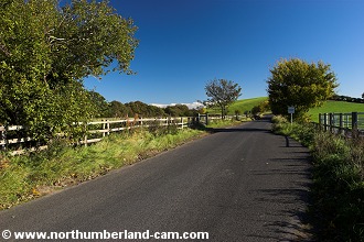
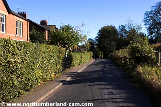
13) From here we followed the road uphill and turned left at the next junction towards Wylam.
14) We followed this road which has fine views across the river to Wylam and back to Hagg Bank Bridge.
15) After a while we reached houses and followed the road downhill, turning left at a junction towards Wylam Station.
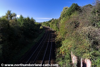
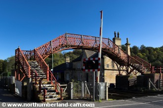
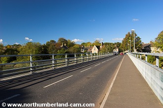
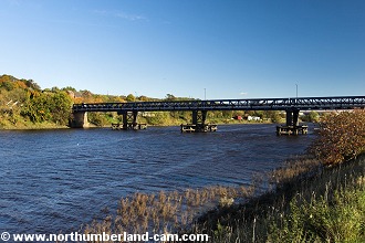
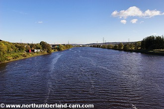
16) At the station we crossed using the footbridge as it gives great views of the railway and the road bridge across the River Tyne.
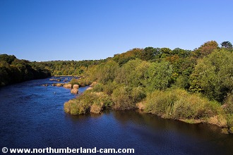
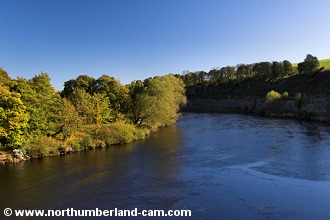
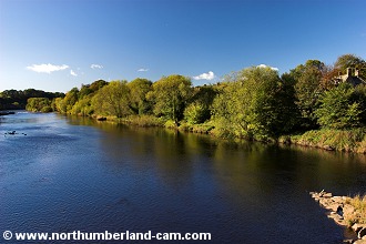
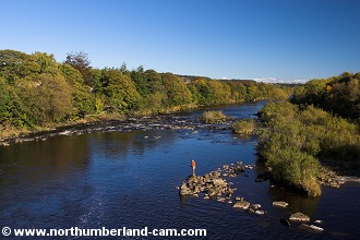
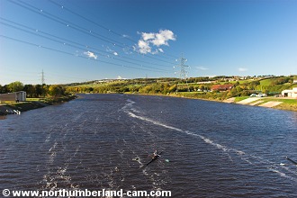
17) We made a detour here onto the road bridge to take photos of the River Tyne and enjoy the view. Someone below us was enjoying the fishing in the river and we have also seen Herons here doing the same.
18) From the road bridge we returned to the station car park. At the far end we passed through a gate onto a path which runs alongside the railway.
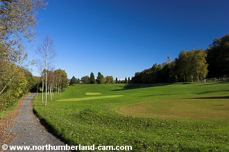
19) We soon reached Ryton Golf Course where the path follows a route between the course and the River Tyne.
20) At the end of the golf course we passed through a wooded area beside the railway and close to Ryton.
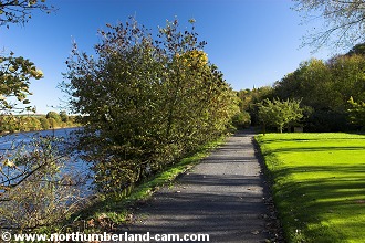
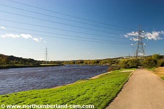
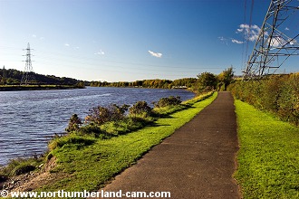
21) From here the path emerges onto open ground and as we walked along we were passed our starting point on the other side of the River Tyne.
22) We soon reached Newburn Bridge where an information board told the story of The Battle of Newburn Ford. This battle took place in 1640 between Scots and English armies. The Scots were victorious and went on to occupy Newcastle.
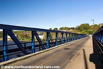
23) We crossed this narrow bridge across the River Tyne which also provides great views along the river, where rowing clubs were active.
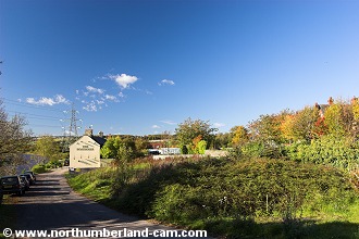
24) On the north side of the bridge we turned left towards a pub called The Boathouse. From here the path runs alongside the river once again.
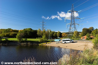
25) We soon passed by the giant pylons and reached the car park and visitor centre at the end of a very nice walk in two counties.
Notes
| ||||||||||||||||||||||||||||||||||||||||||||||||||||||||||||||
| ||||||||||||||||||||||||||||||||||||||||||||||||||||||||||||||